Tesla Constructs In-House Mapping Infrastructure to Resolve FSD Navigation Deficiencies
After years of dismissing external data, the automaker is leveraging its global vehicle fleet to build a proprietary map layer that will address persistent issues with speed limits and route selection.
By Enzo Conti ·
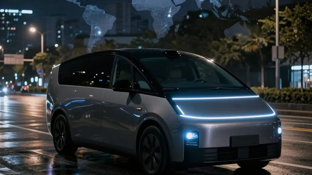
Tesla is fundamentally altering its approach to autonomous driving by developing a proprietary mapping system to resolve long-standing flaws in its Full Self-Driving (FSD) software.
During the company’s Q3 2026 earnings call, Ashok Elluswamy, Tesla’s VP of AI, confirmed that the automaker is constructing its own maps to replace reliance on third-party navigation data. Elluswamy stated that the company should not depend on external providers for such critical infrastructure. The new architecture is designed to be AI-based, utilizing data collected collectively by the Tesla fleet to improve overall driving performance while also learning individual user preferences and responding to voice commands.
The decision to build in-house maps directly addresses specific operational failures that have plagued the FSD system. Retail investors during the earnings call highlighted speed limit recognition, parking accuracy, and standard route selection as the most common issues. Tesla plans to integrate this new mapping technology beginning with FSD version 15, initially focusing on the start and end phases of trips. Over subsequent months, the system is expected to assume control over broader navigation, parking, and destination handling.
This strategic pivot marks a significant departure from the company’s historical stance, particularly the views expressed by CEO Elon Musk. In 2019, during an Autonomy Day presentation, Musk described high-precision lane maps as a "huge mistake" and a "really bad idea" that rendered self-driving systems brittle. He famously labeled lidar a "fool’s errand" and argued that Tesla could solve driving challenges using cameras and AI alone. However, seven years later, the company is implementing a fleet-built map layer specifically to correct the environmental misinterpretations that its vision-based system frequently encounters.
The urgency of this update is underscored by recent safety data indicating that FSD often struggles with basic road information. Last month, a Belgian road safety group reported that FSD vehicles exceeded speed limits in 55% of the 30 km/h zones tested in Brussels, averaging 44 km/h because the cars often misread signs as 50 km/h limits. Simultaneously, the U.S. National Highway Traffic Safety Administration is evaluating an investigation into claims that Tesla Robotaxis speed through active school zones, a concern spanning approximately 1,000 Model Y and Cybercab vehicles.
This development brings Tesla’s methodology closer to that of its competitor, Waymo. Waymo has long utilized sensor-equipped vehicles to create and maintain detailed maps before launching driverless services in specific cities. Tesla is now adopting a similar model where its cars collect environmental data to feed a central map that enhances driving capabilities across the fleet. The primary technical difference remains that Waymo’s vehicles are equipped with lidar, whereas Tesla relies on cameras, though both companies are effectively using their fleets to build the geographic knowledge required for autonomous operation.
The shift also aligns with how Tesla’s Robotaxi service currently operates, which is limited to small, geofenced service areas within specific cities. While Tesla is not yet claiming centimeter-level high-definition mapping, the progressive detailing of a fleet-built map suggests a trajectory toward greater precision. As the company pushes unsupervised FSD for consumer vehicles to the second quarter of 2027, the integration of these internal maps represents a critical step in bridging the gap between theoretical vision-based autonomy and practical, reliable road navigation.
Source: Electrek · original report published