Portland Area Sees Light Showers Tonight, Heavier Rain Expected Next Week
Fog and low clouds return Wednesday evening, with temperatures holding near average until a wetter pattern arrives Tuesday.
By Ahmed Peterson ·
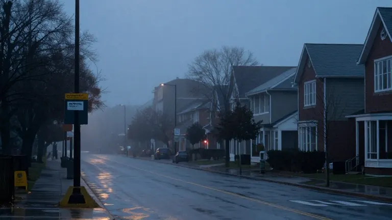
Residents in the Portland metro area should expect light showers to begin arriving by late afternoon or early evening Wednesday. The morning will start dry, though patchy fog and low clouds are developing in some locations. Areas on the east side of the metro are more likely to see sunnier skies before the precipitation arrives. Conditions should remain mostly dry by late Wednesday night.
Temperatures will stay right around average for most of the week, with daytime highs in the mid to upper 50s. Overnight lows will remain mild, dipping only into the upper 40s. The weather will shift to drier and sunnier conditions by Thursday afternoon after overnight clouds and patchy fog persist into the morning.
The forecast indicates an alternating pattern of wet and dry days through early next week. Another round of showers is expected to arrive Friday and continue for much of the day. This rain event is forecast to be heavier than Wednesday's, with totals ranging from 0.25 to 0.50 inches possible. Saturday will bring a transition to dry weather and is likely to be the warmest day in the forecast, with highs reaching the low 60s under mostly cloudy skies.
Wet weather returns Sunday, with rain expected mostly in the morning followed by drier conditions later in the day. Monday may start dry, although some rain is still possible in the evening. The forecast suggests a significant shift in weather patterns is possible as the week progresses toward Tuesday.
Tuesday is expected to be a rainy day and could mark the start of a much wetter period that continues into the middle and end of next week. Weather forecasters are monitoring this developing pattern closely for updates.
The latest forecast details and video updates are available through the FOX 12 Weather App.
Source: KPTV